
Sântana topographic map
Interactive map
Click on the map to display elevation.
About this map
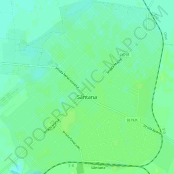
Name: Sântana topographic map, elevation, terrain.
Location: Sântana, Arad, 317280, Roemenië (46.33342 21.48239 46.36300 21.52428)
Average elevation: 111 m
Minimum elevation: 105 m
Maximum elevation: 115 m