
Kiplombe ward topographic map
Interactive map
Click on the map to display elevation.
About this map
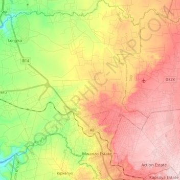
Name: Kiplombe ward topographic map, elevation, terrain.
Location: Kiplombe ward, Turbo, Uasin Gishu County, Rift Valley, Kenya (0.52037 35.16307 0.68366 35.28686)
Average elevation: 2,033 m
Minimum elevation: 1,869 m
Maximum elevation: 2,178 m