Geolocate

Al Fuqaha` topographic map

Click on the map to display elevation.

About this map

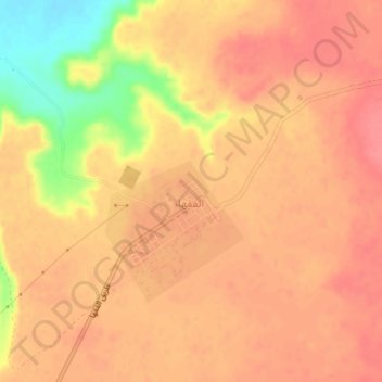
Name: Al Fuqaha` topographic map, elevation, terrain.

Location: Al Fuqaha`, District of Al-Jufra, Libya (27.79820 16.36441 27.83056 16.40194)

Average elevation: 534 m

Minimum elevation: 482 m

Maximum elevation: 552 m

Gear up for your next adventure:

🧥Waterproof Hiking Jackets - Rain protection for walking in all weather conditions
🧰Survival Kits - Emergency tools for remote environments
👕Merino Base Layers - Natural temperature regulation for cold weather hiking and camping
📻Hand-Crank Emergency Radios - Stay updated on weather warnings in remote areas
GPS Outdoor Watches - Watches with GPS tracking for hiking and exploration

As an Amazon Associate, this site earns from qualifying purchases at no extra cost to you.