
شهر مرودشت topographic map
Interactive map
Click on the map to display elevation.
About this map
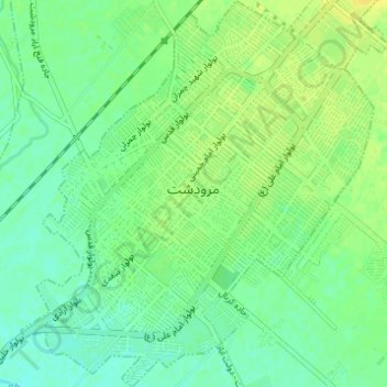
Name: شهر مرودشت topographic map, elevation, terrain.
Average elevation: 1,598 m
Minimum elevation: 1,589 m
Maximum elevation: 1,608 m
Other topographic maps
Click on a map to view its topography, its elevation and its terrain.
Marvdasht
Iran > Fars Province > Marvdasht County > شهر مرودشت
Marvdasht, شهر مرودشت, Central District Marvdasht County, Marvdasht County, Fars Province, 73717-18694, Iran
Average elevation: 1,598 m