
Mehar topographic map
Interactive map
Click on the map to display elevation.
About this map
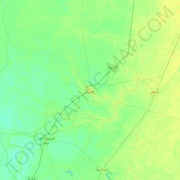
Name: Mehar topographic map, elevation, terrain.
Location: Mehar, Sindh, Pakistan (27.01974 67.66276 27.33974 67.98276)
Average elevation: 43 m
Minimum elevation: 37 m
Maximum elevation: 50 m