
São Vicente Ferreira topographic map
Interactive map
Click on the map to display elevation.
About this map
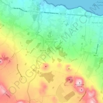
Name: São Vicente Ferreira topographic map, elevation, terrain.
Location: São Vicente Ferreira, Ponta Delgada, Azores, Portugal (37.79240 -25.69807 37.83495 -25.64703)
Average elevation: 152 m
Minimum elevation: 0 m
Maximum elevation: 362 m