
Latimojong topographic map
Interactive map
Click on the map to display elevation.
About this map
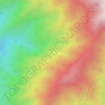
Name: Latimojong topographic map, elevation, terrain.
Location: Latimojong, South Sulawesi, Indonesia (-3.47067 119.98902 -3.43067 120.02902)
Average elevation: 2,208 m
Minimum elevation: 1,402 m
Maximum elevation: 2,982 m