
Audet topographic map
Interactive map
Click on the map to display elevation.
About this map
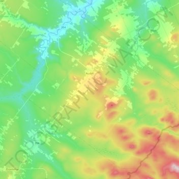
Name: Audet topographic map, elevation, terrain.
Location: Audet, Le Granit, Estrie, Quebec, Canada (45.57338 -70.82162 45.71077 -70.59868)
Average elevation: 467 m
Minimum elevation: 315 m
Maximum elevation: 765 m