
14 topographic map
Interactive map
Click on the map to display elevation.
About this map
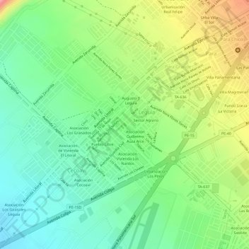
Name: 14 topographic map, elevation, terrain.
Location: 14, Villa Universitaria, Leguía, Tacna, 23006, Perú (-18.04396 -70.28547 -18.02396 -70.26547)
Average elevation: 484 m
Minimum elevation: 435 m
Maximum elevation: 556 m