
Myinmu Township topographic map
Interactive map
Click on the map to display elevation.
About this map
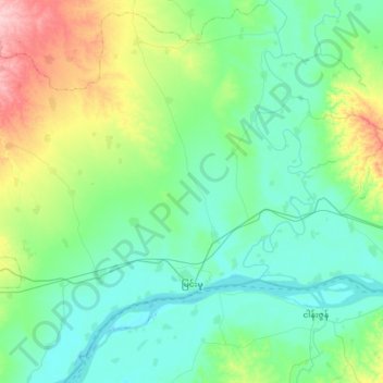
Name: Myinmu Township topographic map, elevation, terrain.
Location: Myinmu Township, Sagaing District, Sagaing, Myanmar (21.84026 95.35135 22.16174 95.68527)
Average elevation: 99 m
Minimum elevation: 57 m
Maximum elevation: 237 m