
Bürglen topographic map
Interactive map
Click on the map to display elevation.
About this map
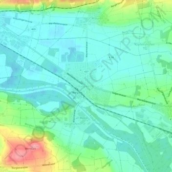
Name: Bürglen topographic map, elevation, terrain.
Location: Bürglen, Bürglen (TG), Bezirk Weinfelden, Thurgau, 8575, Schweiz (47.52988 9.13295 47.56988 9.17295)
Average elevation: 454 m
Minimum elevation: 427 m
Maximum elevation: 534 m