
Åsa topographic map
Interactive map
Click on the map to display elevation.
About this map
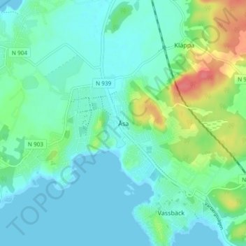
Name: Åsa topographic map, elevation, terrain.
Location: Åsa, Kungsbacka kommun, Halland County, 43953, Sweden (57.33093 12.10339 57.37093 12.14339)
Average elevation: 14 m
Minimum elevation: 0 m
Maximum elevation: 60 m