
Karagözler topographic map
Interactive map
Click on the map to display elevation.
About this map
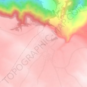
Name: Karagözler topographic map, elevation, terrain.
Location: Karagözler, Pamukkale, Denizli, Ägäisregion, Türkei (38.08527 29.13041 38.12527 29.17041)
Average elevation: 858 m
Minimum elevation: 452 m
Maximum elevation: 967 m