Geolocate

Granda de Riba topographic map

Click on the map to display elevation.

About this map

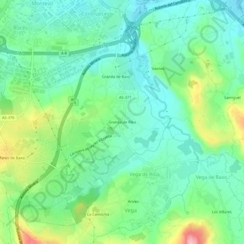
Name: Granda de Riba topographic map, elevation, terrain.

Location: Granda de Riba, Vega de Riba, Gijón, Asturias, 33350, Spain (43.48191 -5.67814 43.52191 -5.63814)

Average elevation: 57 m

Minimum elevation: 8 m

Maximum elevation: 173 m

Gear up for your next adventure:

🦟Anti-Midge & Tick Repellent - Vital for hiking in the Scottish Highlands during summer
Camping Shelters - Emergency and lightweight shelters for outdoor use
🎒Replacement Sternum Straps - Repair parts for hiking rucksacks
🥾Women's Waterproof Hiking Boots - High-performance trekking boots designed for all-weather comfort
Insulated Travel Mugs - Keep drinks hot while surveying the landscape from a summit

As an Amazon Associate, this site earns from qualifying purchases at no extra cost to you.