
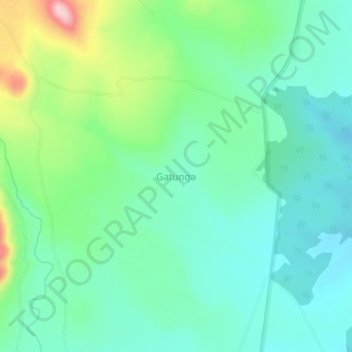
Gatunga topographic map
Interactive map
Click on the map to display elevation.
About this map
Name: Gatunga topographic map, elevation, terrain.
Location: Gatunga, Meru, East Kenya, Kenya (0.08000 37.99660 0.12000 38.03660)
Average elevation: 772 m
Minimum elevation: 711 m
Maximum elevation: 943 m