
Stende topographic map
Interactive map
Click on the map to display elevation.
About this map
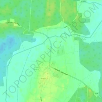
Name: Stende topographic map, elevation, terrain.
Location: Stende, Ances pagasts, Ventspils novads, Lettonie (57.51207 22.00285 57.52881 22.05027)
Average elevation: 14 m
Minimum elevation: 6 m
Maximum elevation: 23 m