
Fritzens topographic map
Interactive map
Click on the map to display elevation.
About this map
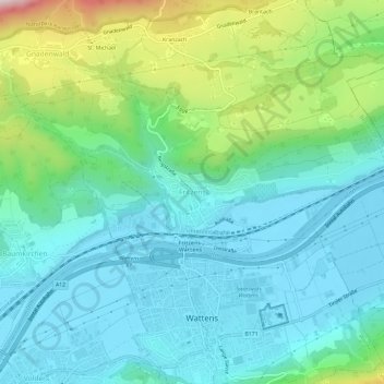
Name: Fritzens topographic map, elevation, terrain.
Location: Fritzens, Bezirk Innsbruck-Land, Tirol, 6122, Österreich (47.28671 11.56923 47.32671 11.60923)
Average elevation: 691 m
Minimum elevation: 543 m
Maximum elevation: 1,171 m