
Frost topographic map
Interactive map
Click on the map to display elevation.
About this map
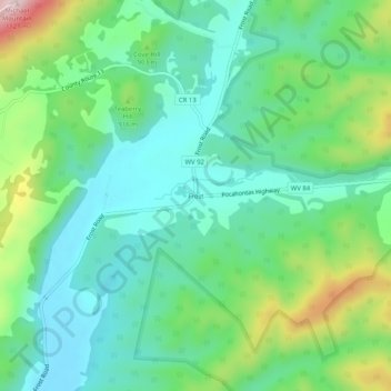
Name: Frost topographic map, elevation, terrain.
Location: Frost, Pocahontas County, West Virginia, USA (38.25068 -79.90061 38.29068 -79.86061)
Average elevation: 850 m
Minimum elevation: 751 m
Maximum elevation: 1,103 m