
Haad Salad topographic map
Interactive map
Click on the map to display elevation.
About this map
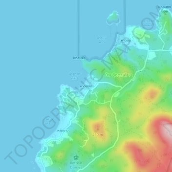
Name: Haad Salad topographic map, elevation, terrain.
Location: Haad Salad, Surat Thani Province, 84820, Thailand (9.76508 99.95280 9.80508 99.99280)
Average elevation: 59 m
Minimum elevation: 0 m
Maximum elevation: 340 m