
Bethamcherla topographic map
Interactive map
Click on the map to display elevation.
About this map
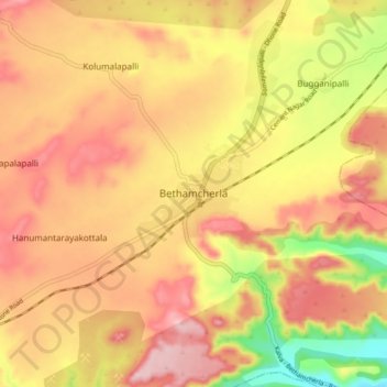
Name: Bethamcherla topographic map, elevation, terrain.
Location: Bethamcherla, Kurnool, Andhra Pradesh, 518503, India (15.41172 78.10711 15.49172 78.18711)
Average elevation: 422 m
Minimum elevation: 291 m
Maximum elevation: 507 m