
کەلار topographic map
Interactive map
Click on the map to display elevation.
About this map
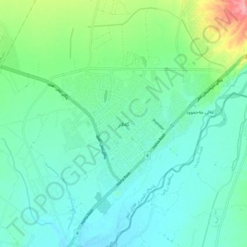
Name: کەلار topographic map, elevation, terrain.
Location: کەلار, Diyala, 46021, Irak (34.58950 45.27588 34.66950 45.35588)
Average elevation: 228 m
Minimum elevation: 198 m
Maximum elevation: 336 m