Geolocate

Ridgecrest topographic map

Click on the map to display elevation.

About this map

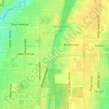
Name: Ridgecrest topographic map, elevation, terrain.

Location: Ridgecrest, Largo, Pinellas County, Florida, United States (27.88729 -82.81598 27.90215 -82.79801)

Average elevation: 18 m

Minimum elevation: 4 m

Maximum elevation: 27 m

Gear up for your next adventure:

🥤Collapsible Water Bottles - Save space in your rucksack as you consume your water
📍Handheld GPS Navigators - Reliable satellite navigation for hiking and off-road exploration
🔥Reusable Hand Warmers - Maintain dexterity in your fingers for precise map handling
📐Altimeters & Barometers - Tools for measuring altitude and air pressure
🛑Emergency Bivvy Bags - Heat-reflective survival bags for unexpected nights out

As an Amazon Associate, this site earns from qualifying purchases at no extra cost to you.