
金塔镇 topographic map
Interactive map
Click on the map to display elevation.
About this map
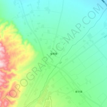
Name: 金塔镇 topographic map, elevation, terrain.
Location: 金塔镇, 武威市, 甘肃省, 中国 (37.81690 102.53661 37.89690 102.61661)
Average elevation: 1,737 m
Minimum elevation: 1,591 m
Maximum elevation: 2,135 m
Other topographic maps
Click on a map to view its topography, its elevation and its terrain.