
独店镇 topographic map
Interactive map
Click on the map to display elevation.
About this map
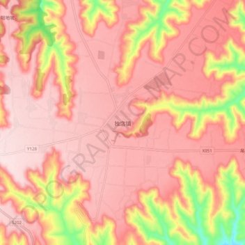
Name: 独店镇 topographic map, elevation, terrain.
Location: 独店镇, 灵台县, 平凉市, 甘肃省, 中国 (35.08988 107.59896 35.16988 107.67896)
Average elevation: 1,200 m
Minimum elevation: 948 m
Maximum elevation: 1,302 m