
Innenstadtring topographic map
Interactive map
Click on the map to display elevation.
About this map
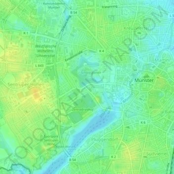
Name: Innenstadtring topographic map, elevation, terrain.
Average elevation: 65 m
Minimum elevation: 55 m
Maximum elevation: 76 m
Other topographic maps
Click on a map to view its topography, its elevation and its terrain.
Heidestraße
Alemania > Renania del Norte-Westfalia > Münster
Heidestraße, Münster-Südost, Münster, Renania del Norte-Westfalia, Alemania
Average elevation: 56 m