
State Center topographic map
Interactive map
Click on the map to display elevation.
About this map
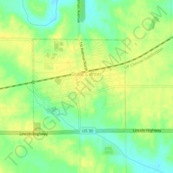
Name: State Center topographic map, elevation, terrain.
Location: State Center, Marshall County, Iowa, United States (42.00734 -93.17500 42.02215 -93.15552)
Average elevation: 322 m
Minimum elevation: 308 m
Maximum elevation: 331 m
Other topographic maps
Click on a map to view its topography, its elevation and its terrain.
Saint Anthony
United States > Iowa > Marshall County > St. Anthony > Saint Anthony
Average elevation: 317 m