
BM Hill topographic map
Interactive map
Click on the map to display elevation.
About this map
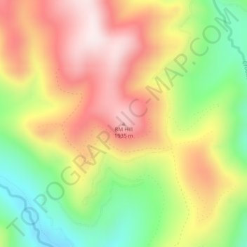
Name: BM Hill topographic map, elevation, terrain.
Location: BM Hill, Clearwater County, Idaho, USA (46.64931 -114.69267 46.64941 -114.69257)
Average elevation: 1,719 m
Minimum elevation: 1,454 m
Maximum elevation: 1,969 m
Other topographic maps
Click on a map to view its topography, its elevation and its terrain.