
Jengre topographic map
Interactive map
Click on the map to display elevation.
About this map
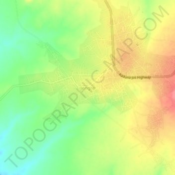
Name: Jengre topographic map, elevation, terrain.
Location: Jengre, Bassa, Plateau State, Nigeria (10.21737 8.77321 10.25737 8.81321)
Average elevation: 868 m
Minimum elevation: 830 m
Maximum elevation: 904 m