
Ourodenberg topographic map
Interactive map
Click on the map to display elevation.
About this map
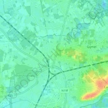
Name: Ourodenberg topographic map, elevation, terrain.
Location: Ourodenberg, Aarschot, Leuven, Flemish Brabant, 3200, Belgium (50.98570 4.81585 51.02570 4.85585)
Average elevation: 16 m
Minimum elevation: 7 m
Maximum elevation: 42 m