
Andarab topographic map
Interactive map
Click on the map to display elevation.
About this map
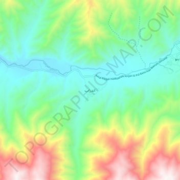
Name: Andarab topographic map, elevation, terrain.
Location: Andarab, Baghlan Province, Afghanistan (35.57954 69.17245 35.65954 69.25245)
Average elevation: 1,831 m
Minimum elevation: 1,386 m
Maximum elevation: 2,770 m
Other topographic maps
Click on a map to view its topography, its elevation and its terrain.
Andarab
Afghanistan > Baghlan Province > Andarab
Andarab, Baghlan Province, Afghanistan
Average elevation: 2,521 m