
Искра topographic map
Interactive map
Click on the map to display elevation.
About this map
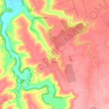
Name: Искра topographic map, elevation, terrain.
Location: Искра, Ситово, Oblast Silistra, 7580, Bulgarien (43.97647 26.90674 44.03464 27.00655)
Average elevation: 106 m
Minimum elevation: 30 m
Maximum elevation: 143 m
Other topographic maps
Click on a map to view its topography, its elevation and its terrain.
Silistra
Bulgarien > Oblast Silistra > Silistra
Silistra, Gemeinde Silistra, Oblast Silistra, 7500, Bulgarien
Average elevation: 57 m