
Schans topographic map
Interactive map
Click on the map to display elevation.
About this map
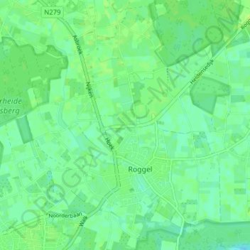
Name: Schans topographic map, elevation, terrain.
Location: Schans, Roggel, Leudal, Limburg, Nederland, 6088 NS, Nederland (51.25114 5.90161 51.29114 5.94161)
Average elevation: 30 m
Minimum elevation: 24 m
Maximum elevation: 35 m
Other topographic maps
Click on a map to view its topography, its elevation and its terrain.