
Galanta topographic map
Interactive map
Click on the map to display elevation.
About this map
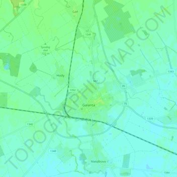
Name: Galanta topographic map, elevation, terrain.
Average elevation: 119 m
Minimum elevation: 115 m
Maximum elevation: 125 m
Other topographic maps
Click on a map to view its topography, its elevation and its terrain.
Abrahám
Slovakia > Region of Trnava > District of Galanta
Abrahám, District of Galanta, Region of Trnava, Western Slovakia, 925 45, Slovakia
Average elevation: 126 m