
Saran topographic map
Interactive map
Click on the map to display elevation.
About this map
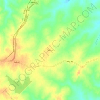
Name: Saran topographic map, elevation, terrain.
Location: Saran, Chakai, Jamui District, Bihar, India (24.46347 86.28962 24.50347 86.32962)
Average elevation: 336 m
Minimum elevation: 316 m
Maximum elevation: 352 m