
St. George topographic map
Interactive map
Click on the map to display elevation.
About this map
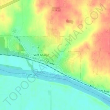
Name: St. George topographic map, elevation, terrain.
Location: St. George, Pottawatomie County, Kansas, United States (39.18466 -96.43089 39.19752 -96.40767)
Average elevation: 322 m
Minimum elevation: 294 m
Maximum elevation: 357 m
Other topographic maps
Click on a map to view its topography, its elevation and its terrain.