
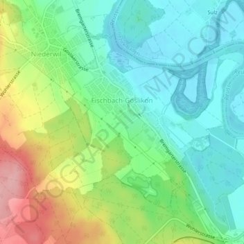
Fischbach-Göslikon topographic map
Interactive map
Click on the map to display elevation.
About this map
Name: Fischbach-Göslikon topographic map, elevation, terrain.
Location: Fischbach-Göslikon, Bezirk Bremgarten, Aargau, 5525, Schweiz (47.35913 8.29285 47.37846 8.32880)
Average elevation: 402 m
Minimum elevation: 354 m
Maximum elevation: 498 m
Other topographic maps
Click on a map to view its topography, its elevation and its terrain.
Anglikon
Schweiz > Aargau > Bezirk Bremgarten > Wohlen
Anglikon, Wohlen, Bezirk Bremgarten, Aargau, 5611, Schweiz
Average elevation: 450 m