
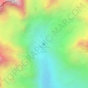
Chamonna Tuoi topographic map
Interactive map
Click on the map to display elevation.
About this map
Name: Chamonna Tuoi topographic map, elevation, terrain.
Average elevation: 2,553 m
Minimum elevation: 2,113 m
Maximum elevation: 3,298 m
Other topographic maps
Click on a map to view its topography, its elevation and its terrain.
Sent
Suisse > Grisons > Region Engiadina Bassa/Val Müstair > Scuol
Sent, Scuol, Region Engiadina Bassa/Val Müstair, Grisons, 7554, Suisse
Average elevation: 1,529 m