
Darlesberg topographic map
Interactive map
Click on the map to display elevation.
About this map
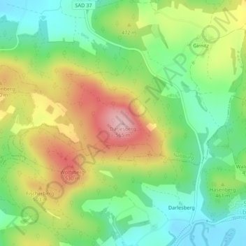
Name: Darlesberg topographic map, elevation, terrain.
Average elevation: 445 m
Minimum elevation: 363 m
Maximum elevation: 559 m
Other topographic maps
Click on a map to view its topography, its elevation and its terrain.
Girnitz
Deutschland > Bayern > Landkreis Schwandorf > Nabburg
Girnitz, Nabburg, Nabburg (VGem), Landkreis Schwandorf, Bayern, 92548, Deutschland
Average elevation: 434 m