
Fonte Boa topographic map
Interactive map
Click on the map to display elevation.
About this map
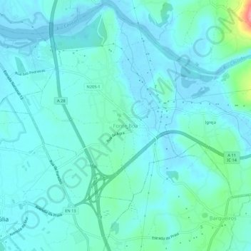
Name: Fonte Boa topographic map, elevation, terrain.
Location: Fonte Boa, Esposende, Braga, 4740-419, Portugal (41.47732 -8.75839 41.51732 -8.71839)
Average elevation: 14 m
Minimum elevation: -8 m
Maximum elevation: 100 m
Other topographic maps
Click on a map to view its topography, its elevation and its terrain.