
Brumholt topographic map
Interactive map
Click on the map to display elevation.
About this map
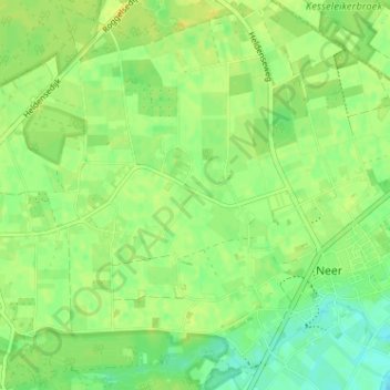
Name: Brumholt topographic map, elevation, terrain.
Location: Brumholt, Neer, Leudal, Limburg, Nederland, 6086 RE, Nederland (51.24981 5.94633 51.28981 5.98633)
Average elevation: 29 m
Minimum elevation: 17 m
Maximum elevation: 38 m
Other topographic maps
Click on a map to view its topography, its elevation and its terrain.