
Воздвиженское кладбище topographic map
Interactive map
Click on the map to display elevation.
About this map
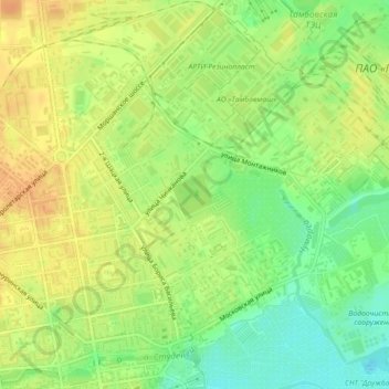
Name: Воздвиженское кладбище topographic map, elevation, terrain.
Average elevation: 128 m
Minimum elevation: 109 m
Maximum elevation: 142 m
Other topographic maps
Click on a map to view its topography, its elevation and its terrain.
парк «50 лет Победы»
Россия > Тамбовская область > Тамбов
парк «50 лет Победы», Октябрьский район, Тамбов, Тамбовская область, Центральный федеральный округ, 392032, Россия
Average elevation: 160 m