
Red Rock River topographic map
Interactive map
Click on the map to display elevation.
About this map
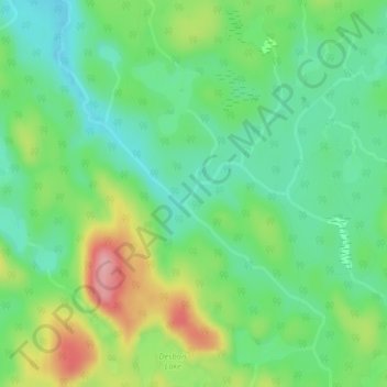
Name: Red Rock River topographic map, elevation, terrain.
Average elevation: 395 m
Minimum elevation: 349 m
Maximum elevation: 482 m
Other topographic maps
Click on a map to view its topography, its elevation and its terrain.
Unorganized North Algoma
Canada > Ontario > Unorganized North Algoma
Unorganized North Algoma, Algoma District, Ontario, Canada
Average elevation: 318 m