
新江湾城街道 topographic map
Interactive map
Click on the map to display elevation.
About this map
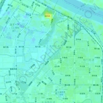
Name: 新江湾城街道 topographic map, elevation, terrain.
Location: 新江湾城街道, Yangpu District, Shanghai, 200438, China (31.30999 121.48915 31.34804 121.52476)
Average elevation: 5 m
Minimum elevation: -2 m
Maximum elevation: 22 m
Other topographic maps
Click on a map to view its topography, its elevation and its terrain.