
Kampung Lundang topographic map
Interactive map
Click on the map to display elevation.
About this map
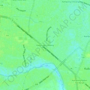
Name: Kampung Lundang topographic map, elevation, terrain.
Average elevation: 9 m
Minimum elevation: 3 m
Maximum elevation: 13 m
Other topographic maps
Click on a map to view its topography, its elevation and its terrain.
Kampung Kubur Tok Kenali
Malaysia > Kelantan > Kubang Kerian
Kampung Kubur Tok Kenali, Kubang Kerian, Kota Bharu, Kelantan, 16150, Malaysia
Average elevation: 9 m