
Longos topographic map
Click on the map to display elevation.
About this map
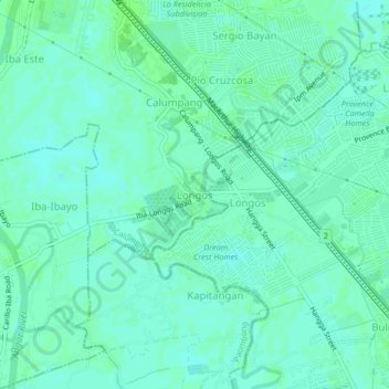
Name: Longos topographic map, elevation, terrain.
Location: Longos, Calumpit, Bulacan, Central Luzon, 3000, Philippines (14.85503 120.76588 14.89503 120.80588)
Average elevation: 4 m
Minimum elevation: 0 m
Maximum elevation: 7 m