
Ferrete topographic map
Interactive map
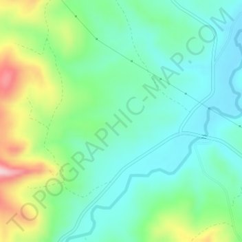
Click on the map to display elevation.
About this map
Name: Ferrete topographic map, elevation, terrain.
Location: Ferrete, Teba, Guadalteba, Málaga, Andalusien, Spanien (36.94068 -4.92405 36.96068 -4.90405)
Average elevation: 430 m
Minimum elevation: 361 m
Maximum elevation: 596 m