Geolocate

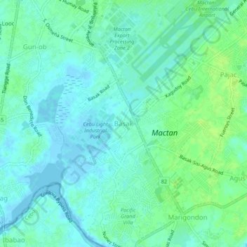
Basak topographic map

Click on the map to display elevation.

Basak

Basak is situated in the south of Lapu-Lapu City, north of the Gabi River. It has an area of 8.007 square kilometers. It has an average elevation of 5 meters above sea level.

Wikipedia (CC-BY-SA 3.0)

About this map

Name: Basak topographic map, elevation, terrain.

Location: Basak, Lapu-Lapu, Central Visayas, 6016, Philippines (10.26957 123.94552 10.30957 123.98552)

Average elevation: 5 m

Minimum elevation: -2 m

Maximum elevation: 11 m

Gear up for your next adventure:

🛌Sleeping Bags - Warm and packable sleeping bags for outdoor nights
👕Merino Base Layers - Natural temperature regulation for cold weather hiking and camping
🥾Hiking Boot Waterproofing Wax - Maintain the lifespan of your leather trekking boots
🚲Cycling GPS Computers - Track elevation and topographic routes on two wheels
🚶Walking Pedometers - Simple distance tracking for casual trail walkers

As an Amazon Associate, this site earns from qualifying purchases at no extra cost to you.