
Puña topographic map
Interactive map
Click on the map to display elevation.
About this map
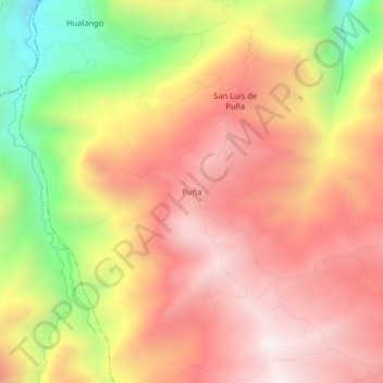
Name: Puña topographic map, elevation, terrain.
Location: Puña, Anguía, Chota, Cajamarca, Perú (-6.36405 -78.67441 -6.32405 -78.63441)
Average elevation: 2,404 m
Minimum elevation: 1,771 m
Maximum elevation: 2,827 m