Geolocate

Bulusan topographic map

Click on the map to display elevation.

About this map

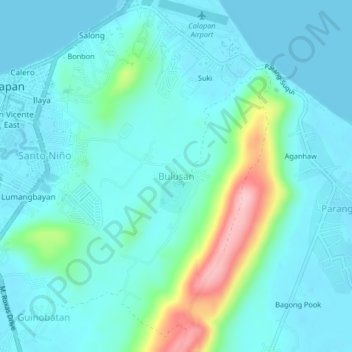
Name: Bulusan topographic map, elevation, terrain.

Location: Bulusan, Calapan, Oriental Mindoro, Mimaropa, 5200, Philippines (13.38428 121.17974 13.42428 121.21974)

Average elevation: 33 m

Minimum elevation: 0 m

Maximum elevation: 186 m

Other topographic maps

Click on a map to view its topography, its elevation and its terrain.

Masipit

Philippines > Oriental Mindoro > Calapan

Average elevation: 4 m

Tawiran

Philippines > Oriental Mindoro > Calapan

Average elevation: 6 m

Lalud

Philippines > Oriental Mindoro > Calapan > Guinobatan

Average elevation: 8 m

Gear up for your next adventure:

🛌Sleeping Bags - Warm and packable sleeping bags for outdoor nights
🚲Cycling GPS Computers - Track elevation and topographic routes on two wheels
🔭Compact Hiking Binoculars - Lightweight optics for scouting terrain and spotting wildlife
🌄Outdoor Binoculars - Compact binoculars for landscape observation
🔥Reusable Hand Warmers - Maintain dexterity in your fingers for precise map handling

As an Amazon Associate, this site earns from qualifying purchases at no extra cost to you.