
Steinsberg topographic map
Interactive map
Click on the map to display elevation.
About this map
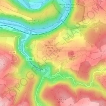
Name: Steinsberg topographic map, elevation, terrain.
Location: Steinsberg, Diez, Rhein-Lahn-Kreis, Rheinland-Pfalz, Deutschland (50.31436 7.93191 50.33099 7.97365)
Average elevation: 208 m
Minimum elevation: 93 m
Maximum elevation: 294 m